
Kearney Neighbors by Block
A block question has several valid sources, but none is a complete list of Kearney neighbors. City Smartmaps can place an address among services and boundaries. Buffalo County Beacon adds parcel and assessment context. The city’s neighborhood program identifies registered groups, while historical directories can offer a dated address snapshot. The right source depends on whether the question is about a parcel, a city service, a voluntary group, or past local context.
| Source | What it shows about a block | Access |
|---|---|---|
| Kearney Smartmaps | Address, subdivision, easement, utility, zoning, service-route, school-district, and precinct layers | Official city viewer |
| Buffalo County Beacon | Parcel, assessment, tax, sketch, photo, and interactive GIS context | County portal; read its live disclaimer |
| Register of Deeds | Recorded instrument and legal-description trail for a particular parcel | Online vendor paths, courthouse computers, copies, and plat books |
| Neighborhood Groups database | Registered HOA or voluntary association context | Official city program and public database |
| 1908 directory and archives | Dated street and household context | Digitized directory, library, microfilm, and archive routes |
Parcel and recorded-instrument sources can identify a legal or assessed interest in land. They do not confirm present occupancy. A street label, association listing, or city layer has its own limits as well. Keep the source name, date, and role with every fact so one record does not become a broader claim about the people around it.
Kearney Block Map Layers
Kearney Smartmaps is a practical first stop because its city-side layers include subdivisions, easements, addresses, water and sewer systems, storm sewer, zoning, school districts, trash and recycling routes, and voting precincts. These are public geography and service layers. A selected layer does not establish ownership, participation in a group, or who lives at an address.
The city viewer is especially useful for distinguishing overlapping maps. A subdivision is a recorded land division. A precinct is election geography. A service route and school district serve separate administrative purposes. The city boundary can differ from a Kearney postal label, so the viewer should be used with USPS normalization and the county parcel map when the jurisdiction of an address matters.
Note: Record the layer name and date because city services, precincts, and operational boundaries can change independently of parcel lines.
Kearney Neighbors on Parcel Maps
The documented adjacent-parcel method is map-led, not a dedicated neighbor control. Start with the target address or parcel in Smartmaps or Beacon. Select its boundary, read the surrounding parcel outlines and map labels, then open each nearby parcel as a separate record. The static material did not expose a verified dedicated adjacent-parcel list or control name, so the workflow should remain limited to the live map and individual parcel review.
- Normalize the target street address with USPS, preserving the entered form and the returned postal form.
- Check Smartmaps for city jurisdiction and context layers such as subdivisions, zoning, utilities, or precincts.
- Open the address or parcel in Beacon and identify the boundary, parcel identifier, situs address, and source date.
- Read the surrounding parcel outlines and labels, then open each neighboring parcel separately rather than inferring a result from proximity.
- For a recorded-land question, inspect the relevant instrument through the Register of Deeds and record its document number and legal description.
- Keep assessed-owner context separate from an occupant claim, and use the Kearney by-street directory when the question expands from a block to a named street.
The county map is informational. Buffalo County’s disclaimer says GIS material is not a survey, appraisal, title search, or zoning verification. A map label is therefore a useful lead for the next record, not a conclusion about who lives beside an address.
Kearney Neighborhood Group Records
The city distinguishes a formal HOA, which may use subdivision covenants and dues, from an informal voluntary neighborhood association without dues. Its free program asks a group to meet neighbors, set boundaries, identify a leader or contact, work with the city, and submit a registration form. Registration gives group-level context. It does not establish that every household in a drawn area belongs to the group.
| Public group example | City classification context | Official access |
|---|---|---|
| Eastbrooke HOA | Listed in the city’s registered-group database | Kearney Neighborhood Groups |
| Lighthouse Point HOA | Listed in the city’s registered-group database | Kearney Neighborhood Groups |
| Centennial Neighborhood Association | Listed as a voluntary association example | Kearney Neighborhood Groups |
| Lost Lake HOA | Listed in the city’s registered-group database | Kearney Neighborhood Groups |
The Kearney Neighborhood Groups program explains the voluntary registration process and directs readers to its public database.
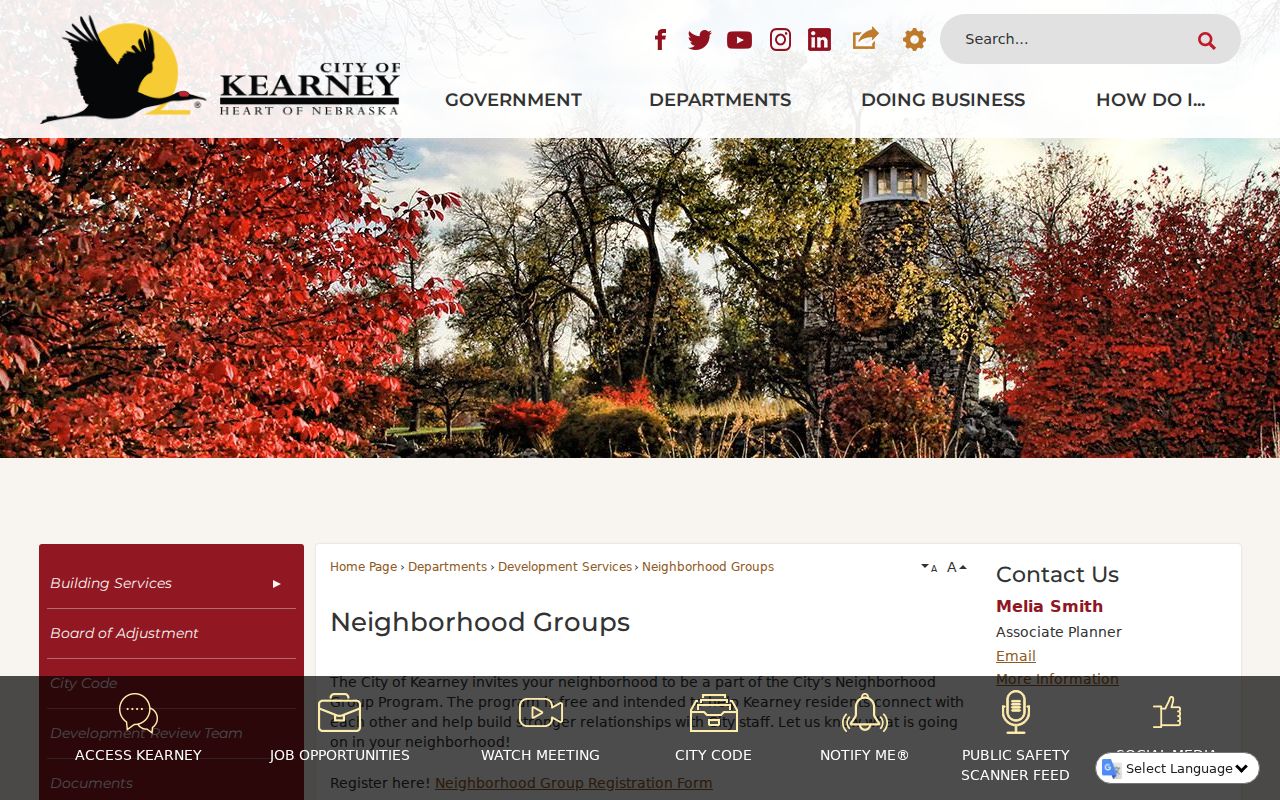
Use the official database for current group information rather than copying individual contact details into a new index.
Kearney Neighbors and Crime Areas
Crime-stat areas are operational reporting geographies, not universal neighborhood boundaries. The city identifies areas including Centennial, East College, East Brooke, Kearney Neighborhood Association, Pioneer, and Plaza. Their names may overlap a subdivision or community term, yet they do not prove membership in an association or describe everyone who lives in the area. Any current boundary question should be checked against the city’s active map or statistics page.
CAD information can include a call number, call type, street number, and time. That context can be sensitive, especially when it concerns victims or a medical or personal event. Use aggregate civic context where possible, do not characterize a call as a proven offense, and avoid using a report to stigmatize a block or its Kearney neighbors.
The Kearney Police records page identifies the official routes for requesting accident and offense reports.
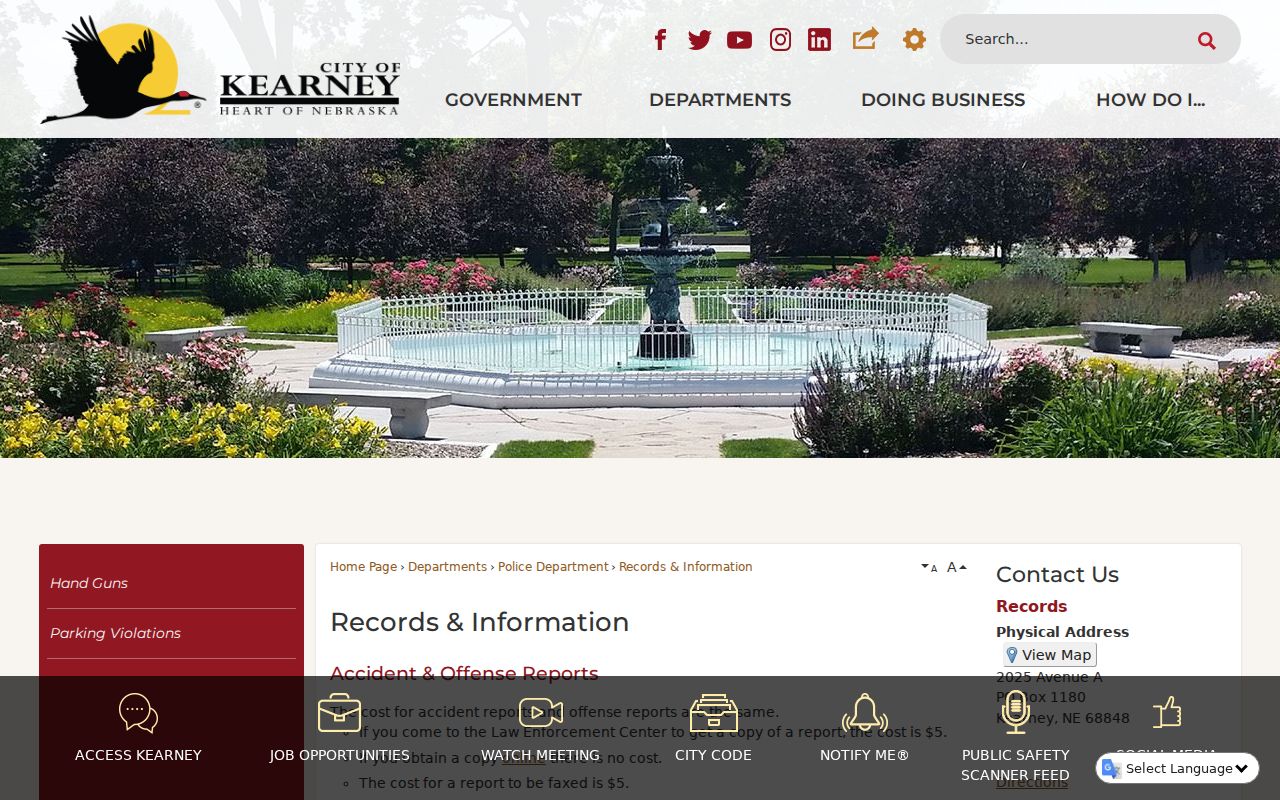
The access information helps separate an official report request from a general block search and directs an incident question to the agency that owns the record.
Kearney Neighbors in Historic Records
For a historical block, the 1908–09 R. L. Polk & Co. city directory provides a date-stamped snapshot. Its alphabetical section and street directory are different views of the same period. An alphabetical entry can include a name, household notation, address, and other context; the street section can place several entries at nearby numbers. Neither should be read as a current roster or as proof that a later address has the same occupants.
Insider tip: Search the alphabetical entry, then immediately inspect the street section for the same address. The two sections can reveal different household and street context. Preserve abbreviated forms such as Avenue, directions, or ordinal streets as printed before making a modern search form. Then corroborate with an archive, cemetery, deed, or map source that has its own date and purpose.
Early material also has documented gaps. History Nebraska’s Buffalo County finding aid and Buffalo County Historical Society are practical fallback routes when an online portal does not reach the needed period. Archive finding aids describe collections and access paths, not complete name indexes.
Kearney Neighbor Election Limits
Election geography can help someone find a current polling-place context, but it is not a block list. Buffalo County directs the public to VoterCheck for polling place and party-affiliation information, and the dynamic form should be used live for an individual question. Precincts and polling locations can change. A polling place is a facility assignment, not an address-level finding.
Nebraska’s voter-file request has a fee, affidavit, stated purposes, and an explicit restriction against commercial use and internet posting or display. The available fields and confidentiality rules do not authorize a public page to enumerate voters on a block. Nebraska law also provides confidential voter treatment and substitute mailing addresses for qualifying participants. Never try to infer a protected residence from a parcel, voter, court, or mailing record.
Note: Use Nebraska VoterCheck for current election navigation and the Buffalo County Election Commission for process questions, not for household profiling.
Kearney Neighborhood Record Requests
Some local questions have no public search screen. Kearney’s Code Enforcement page does not provide a searchable case index, and the live behavior of certain municipal systems is not established in the research. In that situation, the documented fallback is a defined public-record request: identify the record, date range, address or parcel, and the agency likely to hold it. The city describes signed requests by email, fax, or mail and its four-business-day response language for smaller requests, along with copies and deposit procedures.
The Kearney Archive Center is another official route for dated local context. Its visible filters include council, board, and commission agendas and minutes, press releases, keywords, archive, time period, and date range. It can support a question about a public action or service without creating a personal block index. For an incident, use the city police record route inside Kearney and the Sheriff route where the county agency owns the record.
Kearney Neighbor Source Comparison
Official records and unnamed commercial neighbor tools serve different purposes. An official map, assessor page, or recorded instrument identifies its custodian and source limits. A commercial category may combine material from multiple sources, but a bundled display can be stale, incomplete, or unclear about the date and role of each item. The safer path is to use a commercial result only as a prompt to locate the owning agency’s record, if an official record is available.
| Source category | Useful for | Critical limit |
|---|---|---|
| City and county maps | Public geography, services, parcels, and map labels | Not a current resident roster, survey, or title finding. |
| Recorded land and assessment records | Legal or assessed parcel context | Owner, return-to party, and occupant can differ. |
| Registered-group database | Group-level voluntary association context | Does not establish participation by every household. |
| Commercial neighbor-tool category | A possible lead to verify | May lack clear source dates, accuracy, and lawful-use context. |
For Kearney neighbors, the strongest answer is usually a small, dated chain of official sources rather than a long unsourced compilation. State the record type, agency, date, key locator, and what the result does not prove.
Kearney Neighbor Privacy Boundaries
Public availability does not remove privacy limits. Do not reproduce full dates of birth, confidential voter addresses, minor names, medical details, protected victim information, or exact locations that are not needed for a lawful local question. An address shown in a parcel or map record should be minimized when a neighborhood, parcel identifier, source link, date, and jurisdiction describe the point sufficiently.
The Nebraska Address Confidentiality Program serves people affected by domestic violence, sexual assault, and stalking through a substitute-address and mail-forwarding system. Participants apply through designated victim-assistance centers, not through a reverse-lookup path. A protected address must not be reconstructed from overlapping maps or records. When a result may be wrong, report the issue to the owning office rather than silently changing the official record.
Lawful use. Kearney neighbor research is for civic context, family history, and careful property questions. Never use a record or map to stalk, harass, intimidate, or harm anyone.
The Nebraska registry region search is an official public tool with its own warning and purpose limits. It is not a substitute for a neighborhood map or a list of Kearney neighbors.
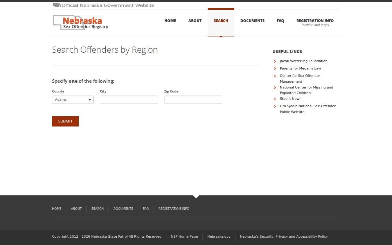
Use a live official search only within its stated rules, and do not republish sensitive location detail or turn a result into a claim about a whole block.