
Kearney ZIP Code Coverage
The ZIPs below are delivery designations encountered in Kearney-area official sources, not a complete boundary atlas. Postal routing, a parcel location, and municipal jurisdiction answer different questions. The USPS label list groups 68845, 68847, and 68848 under Kearney 68847, while official University of Nebraska at Kearney addresses use 68849. Use the table as a starting point, then verify a particular address with USPS and the appropriate city or county map.
| ZIP | Areas Covered | Post Office | Notes |
|---|---|---|---|
| 68845 | Standard Kearney-area delivery designation | Kearney label routing | Exact city extent was not located; check USPS and GIS for the address. |
| 68847 | Standard Kearney delivery | Kearney Post Office uses 68847-9998 | A post-office location does not define the entire ZIP footprint. |
| 68848 | PO Box and county-office mailing use | Kearney label routing | A mailing address does not identify a property situs or household. |
| 68849 | University of Nebraska at Kearney-associated delivery | Campus delivery designation | It is not a city-limit or household boundary. |
That distinction matters when records are compared. A county office can use a 68848 mailing address, a campus record can use 68849, and a property may still need a separate city or county jurisdiction check. No official static Kearney ZIP-boundary table was located, so outlying pockets are deliberately not assigned to a ZIP here.
Kearney Postal Routing Clues
USPS routing is designed to deliver mail, not to settle a boundary question. The Kearney Post Office is identified at 2401 E Avenue with the postal code 68847-9998, yet that facility reference should not be read as a statement that every Kearney-addressed delivery point belongs to 68847. The postal label grouping is a useful clue when a record contains a ZIP, especially when historic and current address forms are being reconciled.
The local anomaly is informative. USPS groups 68845, 68847, and 68848 with the Kearney 68847 label routing, while UNK uses 68849. That mix shows why a campus ZIP, a PO Box ZIP, a postal city, and an incorporated city cannot be treated as interchangeable fields. Retain the form of the address that the source printed, along with the returned USPS form and the separate GIS result.
Note: Postal labels can change or be applied across service areas, so a current address-level lookup is stronger than a ZIP label copied from an older record.
Kearney ZIP Code USPS Fields
The official USPS ZIP Code Lookup is the first check for a current address. Its Address route asks for a street address and city and state. Company and apartment, suite, or other unit information are optional, and the ZIP entry is optional on that route. When more than one result is possible, USPS may require a narrower street or unit detail. The result normalizes postal delivery information, not a person or organization.
| Field | Status | Use in the address route |
|---|---|---|
| Company | Optional | Extra delivery context when supplied. |
| Street Address | Required | The principal address field. |
| Apt/Suite/Other | Optional | Helps narrow a multi-unit address. |
| City | Required | Postal city input for the address route. |
| State | Required | State input for the address route. |
| ZIP | Optional | A corroborating entry when already known. |
The USPS address lookup shown here preserves the required and optional inputs that matter when a Kearney ZIP code search produces several possibilities.
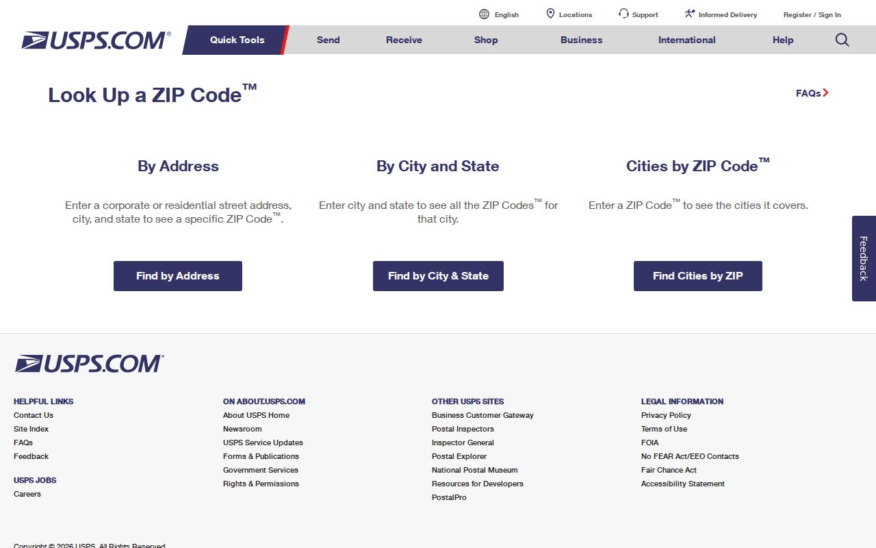
USPS expressly warns that its output does not confirm a person or company. Treat the response as address normalization before using any other record system.
Kearney ZIP Code Search Steps
A ZIP can narrow a Kearney search without turning it into a resident list. Begin with the complete address rather than a name alone. USPS supplies the postal form; Smartmaps and Beacon then supply city, service, and parcel context. Property sources can show an assessed-owner or legal-record lead, but they do not establish occupancy. For an older address, use the printed street form first and add a modern ZIP only after the street geography is matched.
- Enter the street address in USPS and save both the original wording and the returned postal form.
- Check the address in Kearney Smartmaps for city layers, such as addresses, subdivisions, zoning, utilities, service routes, or voting precincts.
- Use Buffalo County Beacon for parcel and assessment context, then record the parcel identifier and source date rather than assuming an owner is an occupant.
- For an instrument or a historical record, search the Register of Deeds or archive by its own fields and keep the ZIP as a corroborating clue.
- When the question becomes street-wide, use the Kearney by-street directory for the address-record workflow.
Voter information is not a ZIP-wide public directory. VoterCheck is for the current election lookup, and the regulated voter-file request has stated purpose and internet-display limits. A ZIP can help orient a civic question, but precincts and polling places must be checked with the current election source.
Kearney ZIP Code Map Checks
City and county maps are the second half of a Kearney ZIP code check. Kearney Smartmaps exposes address, subdivision, easement, utility, zoning, school-district, service-route, and precinct layers. Buffalo County Beacon is parcel-centered and includes assessment, sketch, photo, tax, and interactive GIS context. Neither source is a survey, title search, zoning verification, or current occupant roster.
The Kearney Smartmaps viewer provides the city-side layers needed to compare a postal result with the jurisdiction of a specific address.
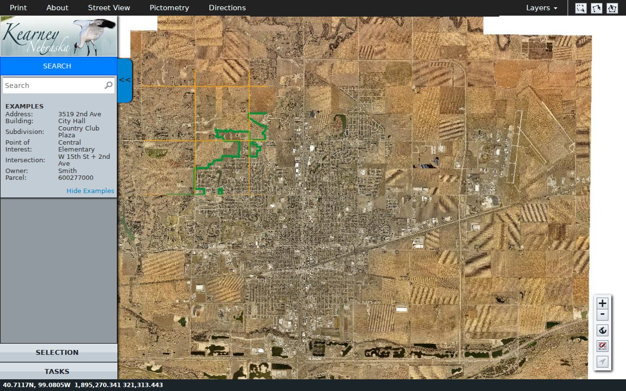
Its layers help show why a postal city label, a school district, a service route, and a municipal boundary can overlap without being the same geography.
An address can carry a Kearney postal label while falling outside the city jurisdiction, and a county parcel can have a Kearney mailing address. Keep the postal city, county, and city-map result as separate fields. This is also the safe way to compare an old directory notation such as Central av or W 22d with a modern address form.
Kearney ZIP Code Address Roles
One ZIP can appear in several roles. A return-to line on a deed, a county-office mailing address, a campus mailing designation, and a parcel situs address each serve a different purpose. The Buffalo County Register of Deeds advises users to inspect an instrument image and distinguish its parties, legal description, recording details, and return-to line. A mailing detail is not a substitute for the parcel location or a finding that someone receives mail at the property.
The same caution applies to historic sources. The 1908 directory uses forms such as Central av, Ave C, W 22d, and Av G. Preserve that original wording, then add the normalized modern form for a search. A current ZIP may be useful once the block is matched, but it should not be used to discard an historical entry that predates the modern postal pattern.
Note: A postal result, a legal description, and a parcel card are complementary records with different dates and limits, not competing proof of the same fact.
Kearney ZIP Code Parcel Context
Buffalo County GIS guidance directs users to parcel and section information, sketches, and photos through the Assessor tab, with Planning and Zoning layers for floodplain, wellhead protection, and county zones. The county says Beacon offers public assessment and tax information, reports, sketches, photos, and interactive GIS. Its static page does not publish a stable field list or coverage date, so the live viewer should be read with its current disclaimer.
The Buffalo County GIS page identifies the parcel-oriented map layer that complements a Kearney ZIP code lookup.
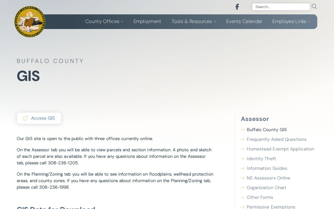
The county’s disclaimer remains important: map information is not a survey, appraisal, title search, or zoning verification.
For a legal question, move from the parcel identifier to the Register of Deeds. Online access includes subscription and pay-as-you-go paths, while courthouse computers, copies, and plat books remain documented access channels. Search grantor and grantee separately, inspect the image, and verify location through GIS instead of reading a ZIP as a title or occupancy conclusion.
Kearney ZIP Code Post Office
The official USPS location page identifies the Kearney Post Office at 2401 E Avenue, Kearney, NE 68847-9998, with retail service Monday through Friday from 8 to 5 and Saturday from 9 to 11:30. PO Box access is listed as available around the clock. Those details identify a postal facility and its access hours. They do not make the facility address a boundary marker for the entire Kearney ZIP code directory.
When a record shows 68848, use USPS to resolve the particular mailing address rather than assuming it identifies a nearby home or parcel. The same practice applies to 68849. The research supports it as a UNK-associated delivery example, not as a mapped institutional boundary. Postal verification works best when the answer keeps delivery, jurisdiction, and property facts in separate columns.
Kearney ZIP Code Myth Check
Myth: A ZIP code proves that a person lives in Kearney. USPS says its lookup result does not confirm a person or company. The returned address is still valuable because it standardizes a delivery address and can reveal that a street or unit needs more detail. It should not be stretched into an identity claim, a household list, or a city-residence finding.
A sound record trail keeps the source role visible. USPS supports postal normalization; Smartmaps supports city and service-layer context; Beacon supports parcel and assessment context; a deed supports a recorded legal interest. Agreement across independent, dated sources is stronger than a single match, and even then each source should be described for what it actually proves.
Kearney ZIP Code Boundary Terms
ZIP geography belongs beside, not on top of, municipal and parcel geography. USPS uses a postal city label for delivery. Kearney Smartmaps and Buffalo County GIS answer different location questions, and a precinct or subdivision may cut across both. The absence of an official static ZIP-boundary table is a reason to verify every address, not a reason to fill in a boundary from a broad label.
- ZIP and ZIP+4
- A five-digit ZIP directs mail to a delivery area; the added four digits narrow routing for a more specific delivery segment.
- PO Box ZIP
- A ZIP used for post-office box or mailing conventions may identify the delivery arrangement rather than a physical parcel.
- Unique ZIP
- A ZIP associated with one institution or delivery arrangement, such as the UNK example, still requires address-level verification.
- Carrier route
- A postal delivery grouping used to move mail, not a city boundary, parcel boundary, or list of people at addresses.
For any Kearney ZIP code directory search, retain the exact address, USPS response, parcel identifier where available, and city or county map result. Those separate checks make a record trail easier to repeat and less likely to misstate the geography.