
Search Kearney Streets by Address
Begin with the number and street spelling, then keep both the original form and the returned postal form. The USPS ZIP Lookup checks whether an address is recognized for delivery, but it does not confirm a person or company at that address. Next, compare the address in Kearney Smartmaps and Buffalo County Beacon. City and county views answer different geographic questions, so a Kearney postal label should not be mistaken for a city-jurisdiction result. The resulting parcel, subdivision, and street form make a safer starting point for a Kearney by-address search.
- Enter the address in USPS, save the returned spelling, and retain any original historical form such as an abbreviated avenue or ordinal street.
- Check Smartmaps for city address and service context, then use Beacon for the parcel-centered assessment, sketch, photo, tax-history, or GIS context that is available.
- Use the parcel and legal description to find the matching instrument through the Buffalo County Register of Deeds online-records options.
- Read the deed image and identify its parties, recording date, document number, and legal description before treating it as part of a chain.
- For a defined current record, use the owning agency's lawful route. For historical household context, compare the dated street listings and library collections rather than assuming a parcel owner lived there.
That order moves from address normalization to geography, property evidence, and a dated historical source. It also avoids using a property record as a substitute for a current household list.
Kearney Street Directory Basics
A Kearney street directory search has several distinct layers. Beacon supplies assessment and parcel context, while the Register of Deeds keeps permanent instruments affecting a tract, including deeds, mortgages, easements, subdivision plats, and related records. The City of Kearney map view adds city-side layers such as addresses, subdivisions, utilities, zoning, school districts, waste routes, and voting precincts. Each source has its own scope. A selected map layer is planning or service information, and the county GIS disclaimer says its map is not a survey, appraisal, title search, or zoning verification.
Use the address as a locator, not as proof of a household. A deed party may be a trust, estate, company, former owner, or another legal interest. A return-to or mailing line can point somewhere other than the property. The public tax roll can show gross value and tax billed, but the county warns that it does not expose every credit or valuation factor. Those distinctions are the reason a Kearney address-record trail should preserve the record type and date beside every finding.
Kearney Address Verification Steps
Some useful inputs and layers are documented, while others are not. Buffalo County describes Beacon as providing public assessment and tax information, in-depth search, reports, sketches, photos, interactive GIS, aerial views, and parcel data. It does not publish the live Buffalo-specific field labels, sort order, export options, or coverage dates on its static county materials. The table records that boundary instead of filling in field names that were not captured.
| Tool | Confirmed input or layer | Use | Limit |
|---|---|---|---|
| USPS ZIP Lookup | Street address and city/state; company, unit, and ZIP are optional | Normalizes a delivery address and ZIP possibility | Does not confirm a person or company |
| Buffalo County Beacon | Static county materials do not state field labels | Assessment, tax, parcel, sketch, photo, and GIS context | Not a title search, survey, or resident roster |
| Kearney Smartmaps | Addresses, subdivisions, utilities, zoning, school districts, service routes, and precinct layers | Checks city-side geographic context | Layer results need a source and date note |
For a historical form, preserve spelling such as Central av, Ave C, W 22d, or Av G, then try a normalized version. A portal may expect a modern form even when a directory printed another one.
Note: USPS resolves delivery terminology, while Smartmaps and Beacon separately test city and parcel geography for the same Kearney address.
Kearney Parcel Search Limits
Parcel data is strong for locating land, not for naming everyone connected to an address. Buffalo County describes about 25,000 real-estate parcels, and the Assessor's office can assist with property research, copies, and sales-file searches in person. The Assessor cannot change a real-property address without owner authority, which is another reminder that an official mailing address and a location on the ground can be different things. Parcel, situs address, and legal description should remain separate notes in a street-by-street record trail.
- Parcel
- A county identifier for a piece of land used in assessment and mapping systems. It helps connect map context to an office file, but it is not a household list.
- Situs address
- The physical location assigned to the parcel. It can differ from a mailing or return-to address shown on an instrument.
- Plat
- A recorded map that lays out lots, blocks, streets, or additions. The Register of Deeds keeps subdivision plats among its permanent land records.
- Criss-cross directory
- A reverse address arrangement that can place historical names or businesses under an address. It is a dated publication, not present-day confirmation.
Use office verification when a map and an instrument disagree. The assessor, Planning/Zoning, Register of Deeds, or City Clerk controls a different part of the question.
Kearney Records by Street
Address-keyed sources can be combined, but each contributes a narrower fact. The county has no unified official resident-name database, and no public screen was located for listing all voters on a street. Nebraska VoterCheck is an individual election lookup with confidentiality limits, not a street roster. The records below work best when the question is defined first: parcel geography, land instrument, municipal record, or dated historical presence.
| Address record | Custodian | What it contributes | Available route |
|---|---|---|---|
| Assessment and parcel context | Buffalo County Assessor / Beacon | Parcel, assessment, tax, sketch, photo, and GIS context | Beacon or assessor office research |
| City geographic layers | City of Kearney Smartmaps | Addresses, service, zoning, subdivision, and precinct context | Online city map |
| Land instruments and plats | Buffalo County Register of Deeds | Parties, document number, recording date, and legal description | Courthouse computers, office copies and plat books, Laredo, or Tapestry EON |
| Municipal records | Kearney City Clerk and owning department | Defined property or project records when held by the city | Signed request by email, fax, or mail, plus office contact |
| Dated directory listing | NEGenWeb, library, and archival holdings | Historical address and household or business context | Scanned 1908-09 directory, microfilm, library, or archive |
For a property question, move from parcel number to legal description and then to an instrument. For an older household question, move from the normalized street form to the relevant directory date. These are parallel paths, not a single official street database.
Kearney Deeds by Address
The Register of Deeds offers courthouse computers, copies, and plat books at its Kearney office. Its online choices are Laredo, described as a subscription replica of the courthouse workstation, and Tapestry EON, a pay-as-you-go route that supports grantor, grantee, date-range, document-number, and legal-description concepts. The county does not state an online start year. When a date falls outside what the vendor reveals, move to office books, plat books, microfilm, or staff help rather than assuming the history begins online.
The Buffalo County deed-records access page is shown in this Kearney street directory capture.
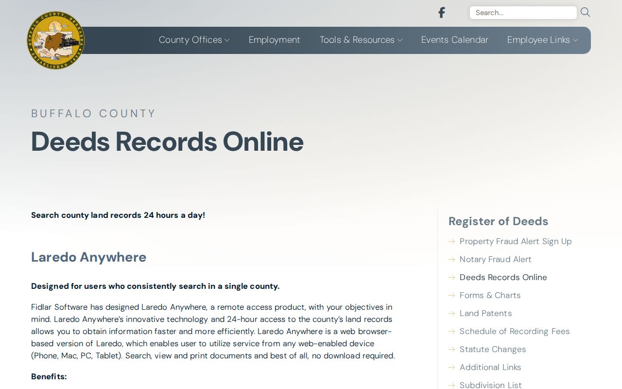
Use the office's own online-access notice to choose an access channel, then inspect the image before recording a link in the chain. A mortgage, release, easement, correction, or assignment is not the same as a transfer of ownership.
Record the document number, recording date, parties, instrument type, legal description, return-to line, consideration or tax details, and linked references. A current title conclusion needs a full review, not one deed image.
Historic Kearney Street Listings
The 1908-09 R. L. Polk & Co. volume digitized by NEGenWeb has an alphabetical-name section and a street section. The street material appears on pages 137 through 156. Reading both sections can reveal a date, printed address, relationship notation, occupation, a boarder notation, a business, or a nearby address. It cannot establish a continuous residence or current identity.
Historical wording matters. Boards at can signal a household relationship, while rooms same can tie a professional listing to the printed address. Preserve initials, relationship parentheses, abbreviations, and the page number before normalizing the street. The broader runs and reading conventions belong with the Kearney city directories; the useful street task here is matching an address to that particular dated listing.
For a gap between editions, use the Kearney Public Library reference desk, microfilm holdings, and local-history resources before drawing a conclusion from one volume. Omaha Public Library identifies Kearney microfilm for 1904 through 1933, while other institutional holdings are fragmented. Missing editions, spelling changes, and a listing at a business address can all alter the result. A careful Kearney street directory comparison records the volumes consulted as well as the years that were not found.
Note: Publication dates describe a publisher's snapshot, so a Kearney street directory entry is evidence for that edition rather than a field-verified census.
Kearney Maps Need Context
Maps help bridge a printed street entry and present geography. The 1889 Kearney Sanborn sheets show blocks, building use, street orientation, and fire-insurance detail. The Library of Congress perspective map records West Kearney and East Lawn additions alongside the water-power canal and Platte River setting. Compare either historical map with Smartmaps only after checking the street form, block, and parcel context.
A map can show a building or a street in its own time. It does not prove that the structure, address number, parcel line, or household continued unchanged. Keep historic geography, present map layers, deed evidence, and a directory entry as separate dated records.
Kearney Address Record Requests
Some city-held material is not presented as a public address search. For a defined record, contact the City of Kearney directory for the City Clerk or the owning department, then describe the address, record type, and date range. The city documents signed requests by email, fax, or mail and uses four-business-day response language for smaller requests. Copies or a deposit can be part of the response. Do not describe a request form or CitizenServe application portal as a live search when its public search behavior has not been confirmed.
The Buffalo County marriage-license instructions appear in this second Kearney street directory capture because a family record may contain an address-related lead without proving a present household.
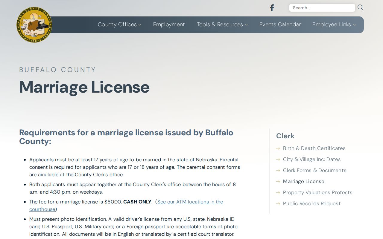
Use a family or city record only for the specific fact it supports. The County Clerk, the Register of Deeds, and a city department each keep different record types and set their own access rules.
Kearney Street Privacy Limits
Public availability has boundaries. Nebraska's Address Confidentiality Program provides a substitute address and mail forwarding for eligible people who have moved or plan to move to an unknown location. Never try to reconstruct a protected address from parcel, voter, court, or mailing material. Nebraska voter confidentiality also protects qualifying participants. Driver record access is controlled, and a postal result is not proof that a person lives at an address.
The Nebraska Public Records Act makes many records inspectable unless another law excludes them, but inspection does not make every field fit for broad reuse. Keep only the details needed for a lawful personal question, compare same-name records with independent details, and ask the issuing office to correct an error. The street directory path is strongest when it records source, date, jurisdiction, and limit together.
Minimize sensitive details in notes and never publish full birth dates, account numbers, minor information, medical facts, or protected victim information. A short source description and the office link usually provide the needed trail without reproducing an unnecessary address or personal field.
Lawful use. Kearney street and address records support personal research and public-record literacy. Do not use them to stalk, harass, intimidate, or expose a protected person.